About Cyclone Drone Services – Advanced Aerial Imaging Across Northern California

Our Mission & Expertise
-
FAA Part 107 Licensed & Insured
Fully certified pilots ensuring compliance, safety, and reliability for every aerial mission.
-
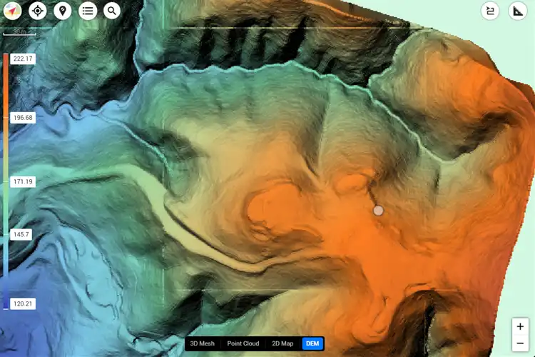
2D/3D Mapping & LiDAR
Accurate terrain and infrastructure modeling across Sonoma, Napa, Marin, Solano, Lake, and Mendocino counties.
-
Thermal Imaging & Roof Inspections
Detect heat loss, water damage, and system inefficiencies with FLIR-certified infrared technology.
-
Volumetric Calculations
Precise stockpile and earthwork measurements for construction, mining, and logistics projects.
-
Construction Progress Monitoring
Recurring aerial documentation and site mapping for streamlined project management.
About the Pilot
Cyclone Drone Services is led by Ian Burns, an FAA Part 107-certified drone pilot with over 30 years of experience in the construction industry as a Senior Project Manager. Ian has specialized in Structural Steel and Public Works, successfully managing projects ranging from intricate artistic metalwork to large HVAC modernizations across the Bay Area. Highly experienced in meeting tough schedules and critical milestones, Ian brings the same attention to detail and problem-solving skills to his drone operations.
A proud U.S. Navy and U.S. Army veteran, Ian draws on the technical training, mission focus, and commitment to safety developed during his years of service. Today, he applies those qualities to every aerial imaging mission, mapping project, thermal inspection, and rescue support operation conducted across Sonoma, Napa, Marin, Solano, Lake, and Mendocino counties.
Whether capturing high-resolution imagery, conducting detailed inspections, or supporting emergency response, Ian combines his construction management expertise, military discipline, and cutting-edge drone technology to deliver reliable, professional results for clients throughout Northern California.
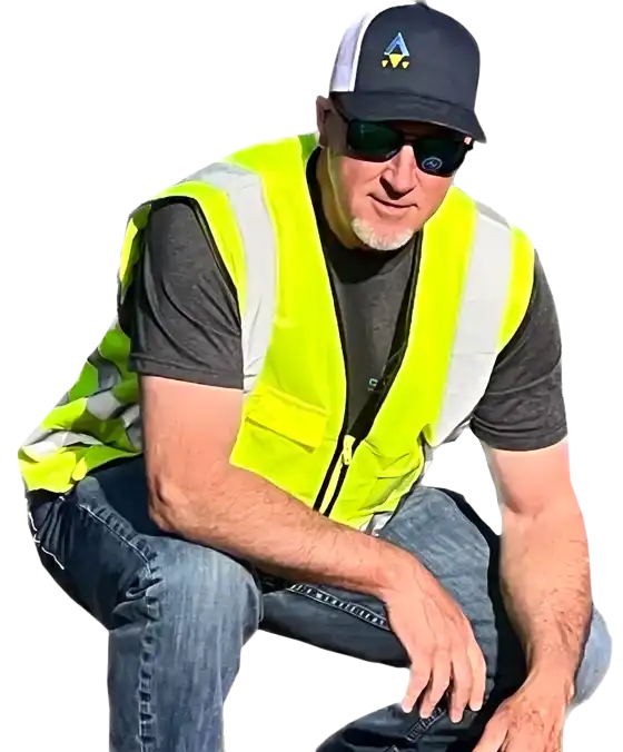
Ian Burns
Why Choose Cyclone Drone Services?
Local Expertise
Comprehensive Services
Proven Reliability
OUR CLIENTS