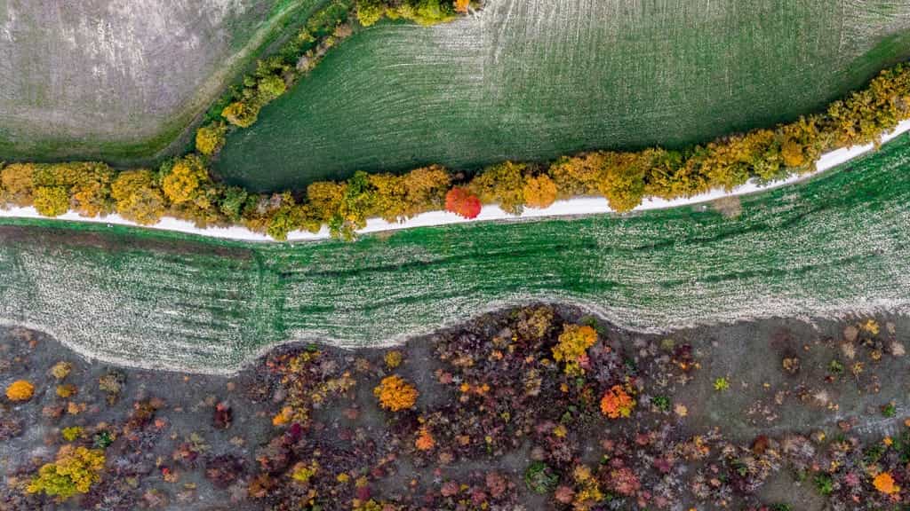
Cyclone Drone Services, a leading drone company, has recently announced their latest innovation in thermal imagery drones that is set to revolutionize the way vineyard operations are managed in Sonoma County, Napa County, Mendocino County, and Lake County. This new technology will provide vineyard owners and operators with an efficient and effective way to monitor their crops, detect anomalies, and make informed decisions based on accurate data.
According to a recent article in The Mercury News, the use of drones equipped with thermal imaging cameras has been gaining popularity in the agriculture industry. The thermal imaging cameras can capture data that is not visible to the human eye, such as temperature variations in the crops. The data collected by the drones can be analyzed to provide valuable insights that can help vineyard owners and operators optimize their crop management practices.

Cyclone Drone Services thermal imagery drone technology allows vineyard owners and operators to quickly and easily survey their crops and detect potential issues before they become major problems. For example, the drones can identify areas of the vineyard that are not receiving enough water or are being exposed to excessive heat, allowing vineyard owners and operators to adjust their irrigation and canopy management practices accordingly. The thermal imagery drones can also detect signs of disease or pest infestations, which can help vineyard owners and operators take proactive measures to prevent the spread of the problem.
One of the most significant advantages of using Cyclone Drone Services thermal imagery drone technology is that it provides vineyard owners and operators with a cost-effective and efficient way of monitoring their crops. In the past, vineyard operators had to rely on manual labor or expensive aerial surveys to gather data on their crops. With the use of drones, data can be collected quickly and efficiently, providing vineyard owners and operators with real-time information on the health and status of their crops.
A recent study published in the International Journal of Remote Sensing has shown that the use of thermal imagery drones in agriculture can have a significant positive impact on the environment. By using drones to monitor their crops, vineyard owners and operators can reduce the amount of water, fertilizer, and other inputs that are required to maintain healthy crops. This can result in cost savings and reduced environmental impact, making it a win-win situation for both the vineyard and the surrounding environment.
In conclusion, Cyclone Drone Services new thermal imagery drone technology is a game-changer for vineyard operations in Sonoma County, Napa County, Mendocino County, and Lake County. With the ability to quickly and efficiently gather data on crop health and status, vineyard owners and operators can make informed decisions that can help optimize their crop management practices. Additionally, the use of drones in agriculture can have a positive impact on the environment, reducing the need for inputs and minimizing the impact of crop management practices on the surrounding ecosystem.
Overall, the use of thermal imagery drones in vineyard operations is an innovative and exciting development in the agriculture industry. Cyclone Drone Services is leading the charge in this technology, providing vineyard owners and operators with cutting-edge solutions that will help them maximize their crop yields, minimize their costs, and reduce their environmental impact. The future looks bright for the use of drones in agriculture, and Cyclone Drone Services is at the forefront of this exciting technology.


